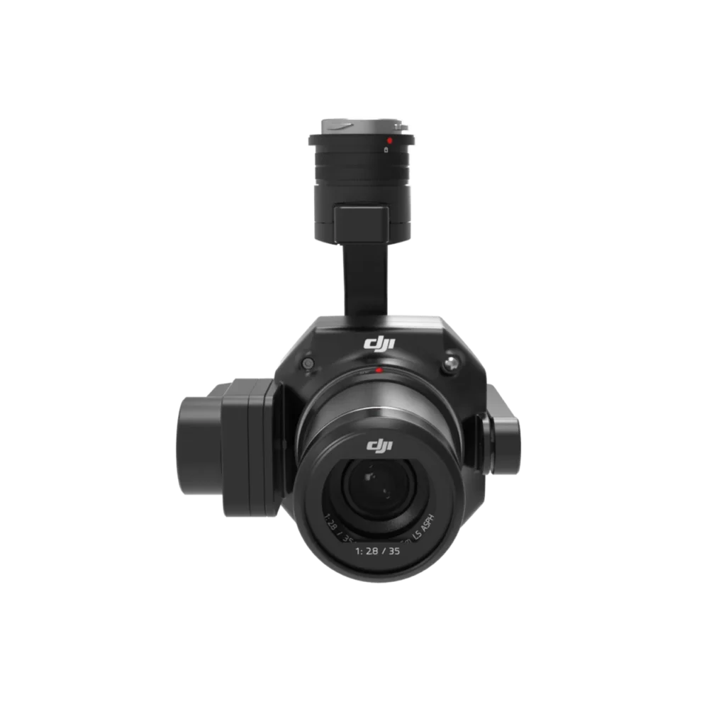
The Zenmuse L1 combines a Livox LiDAR module, a high-accuracy IMU, and a 20MP RGB camera. Mounted on a gimbal, it enables real-time 3D point cloud generation, ideal for surveying, forestry, infrastructure modeling, and engineering-grade topographic mapping.

Zenmuse L1
$26,996.25
Aerial LiDAR solution with RGB camera for 3D mapping.